


How much does the Uinta Data Collection Software cost?
1-year or 3-year license options are available for Uinta Data Collection Software.
A 1-year Uinta Pro license costs $550 per year and supports use on two devices at a time either Windows or Android and Apple coming soon (ex. an office laptop + tablet for field data collection). Additional licenses may be added at a discounted rate – please see Uinta price options listed above. Licenses may be shared or transferred to other users or devices using the Uinta License Manager webpage tool.
A 3-year Uinta license costs $1,350 for 3 years and supports use on two devices at a time either Windows or Android and Apple coming soon (ex. an office laptop + tablet for field data collection). Additional licenses may be added at a discounted rate – please see Uinta price options listed above. Licenses may be shared or transferred to other users or devices using the Uinta License Manager webpage tool.
A Team Bundle with 10+ licenses is the best price to support using Uinta in an organization with several office and field data collectors. Purchasing 10+ licenses equates to a per license cost of $375 for the 1-year option and $995 for the 3-year option.
Special pricing may be available for medium to large enterprise organizations or special projects. Please contact Juniper Systems for price details at sales@junipersys.com.
Does Uinta Data Collection Software work offline when not connected to the internet?
Yes, Uinta works offline when users don’t have access to internet. Users can also download satellite imagery tiles and save them for use while working offline.
What file types can be exported with Uinta Data Collection Software?
Google Earth KML, Microsoft Excel, Esri Shape (SHP), and professional PDF map reports
Can I import data layers to my map in Uinta?
Yes, Google Earth, Microsoft Excel, Esri Shape (SHP), Geopackage, and professional PDF map reports are all supported file types that can be imported as editable data layers to Uinta projects.
Does Uinta work with an external Bluetooth® GPS receiver?
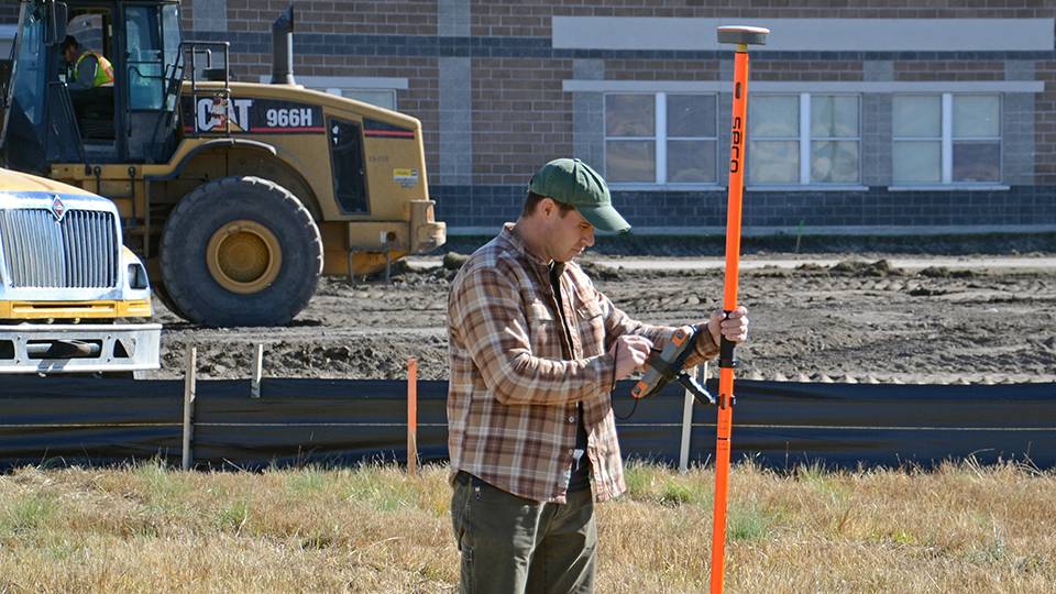
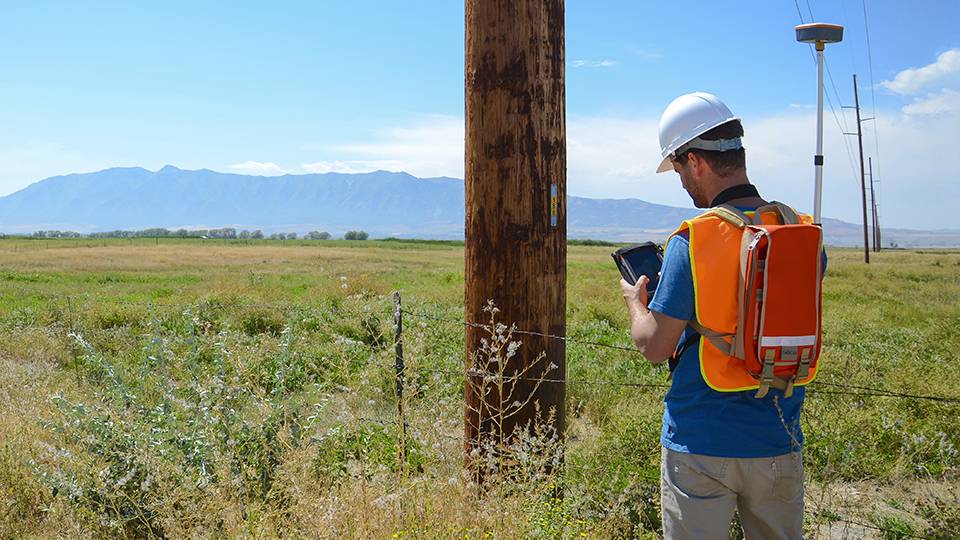
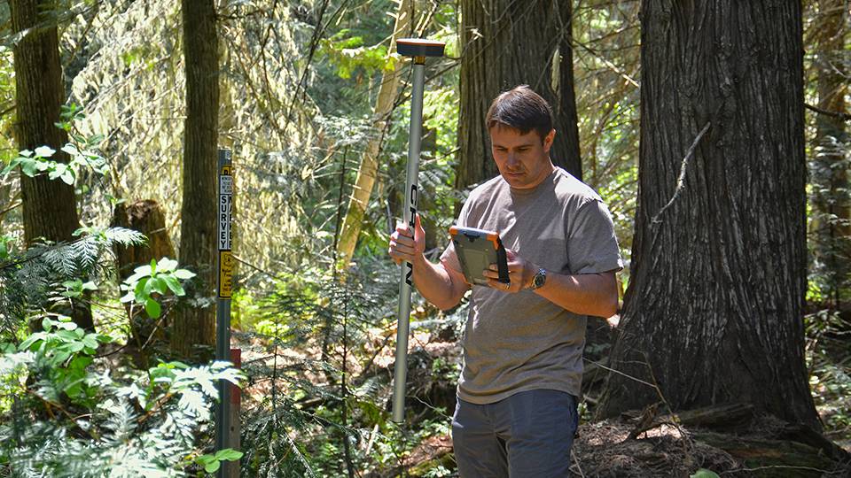
Yes, in addition to using the internal GPS of your device, users can pair an external Bluetooth® GPS receiver to use as the location provider in Uinta software. For example, Juniper Systems’ Geode high-accuracy GPS Receiver can be paired to your Windows or Android device (Apple coming soon) to support high-accuracy mapping. Other common external GPS receivers may also be connected via Bluetooth or cable for use as the location provider. Contact TechSupport@junipersys.com for questions related to external GPS receivers known to work with Uinta software.
Can Uinta software be used without a GPS or for data collection projects that don’t require maps?
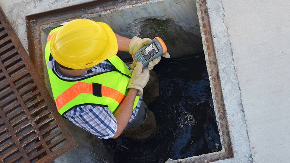
Absolutely! Users that aren’t mapping anything can use Uinta as a data collection tool, including custom forms to match specific jobs. If no GPS fields are in the form, then maps will not be visible to users. For example, Uinta can be used as an efficient data capture tool for asset inspections inside a building.
Where can I find training and support?
Training and support material can be found here. Additional Unita webinars and demonstration videos can be found here. Uinta users may also contact Juniper Systems’ general Tech Support for questions at TechSupport@junipersys.com or 435-753-1881 MST.
Does Uinta have to be used with Juniper’s tablets and GPS receivers?
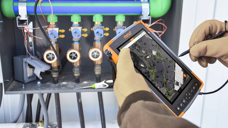
No. Uinta can be used on a variety of devices but works great with Juniper’s line of rugged tablets and GPS/GNSS receivers. Learn more about available total solutions by contacting us here.
What industries use Uinta?
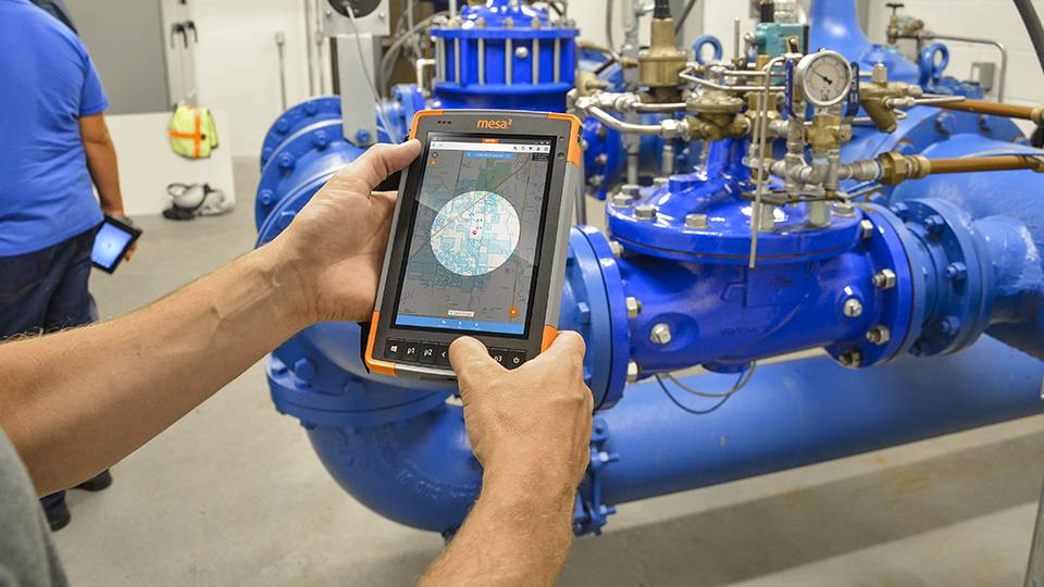
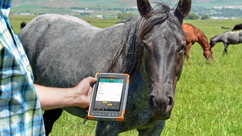
Uinta is used for a variety of applications in industries including utility mapping, local government asset management and mapping, commercial irrigation mapping and water audits, utility pole mapping and inspection, natural resources, industrial asset inspections, equine management and recordkeeping, harbor mooring layout plan and navigation, and several others requiring a need for mapping and data collection software.
What devices work with Uinta software?
Uinta runs on any Windows 10 or higher device, any Android 9 device or higher device, or any Apple iOS 15 device or higher.
Minimum Windows device specifications:
- Windows 10 or higher (64 bit OS version)
- 64-bit processor
- 7” screen
- 4GB RAM minimum
- 64GB+ storage (preferably SSD)
- Intel Core Processor (i3, i5, i7) or comparable
- Bluetooth wireless connectivity capable
Common Windows devices used with Uinta includes Juniper Systems Mesa 4 Windows, Mesa Pro Windows, Panasonic® Toughpad® and Toughbooks®, Microsoft Surface Pro®, Microsoft Surface Go®, and other laptops and PCs.
Common Android and Apple iOS devices include Samsung Galaxy, Samsung Tab Active, Google Pixel, Motorola Moto G, iPhones, and iPADs.
Please contact us if you have additional questions about hardware compatibility.