Products ▾
![]()
GNSS RECEIVERS
TOTAL SOLUTIONS
Industries ▾
Partner ▾
GNSS RECEIVERS
TOTAL SOLUTIONS
Going digital brings endless possibilities to the mining industry. The right hardware can make the transition to digital even more seamless. Juniper Systems’ comprehensive mining solution includes rugged tablets, GNSS receivers, and user-friendly mapping software, all tailored to your specific workflow. The Bluetooth range on our hardware exceeds the industry standard, offering an extended range that gives you even more freedom to roam! Equipped with a rugged tablet connected to a GNSS receiver and running our mapping software, you can effortlessly input metrics and geological information, communicate seamlessly with stakeholders, and create detailed maps from any location on your site.Juniper Systems simplifies the process of acquiring all the necessary hardware and software for your mining operations. Choose between the Mesa Pro with its expansive 10.1-inch display or the more compact Mesa 3, which offers the same durability and processing power. Some mines may require both models! Our Geode GNSS receiver features scalable accuracy, allowing you to access sub-meter, sub-foot, decimeter, or centimeter-level mapping. We're here to assist you in building a customized order to ensure that everyone at your mining site has the precise equipment they need to efficiently complete their tasks.
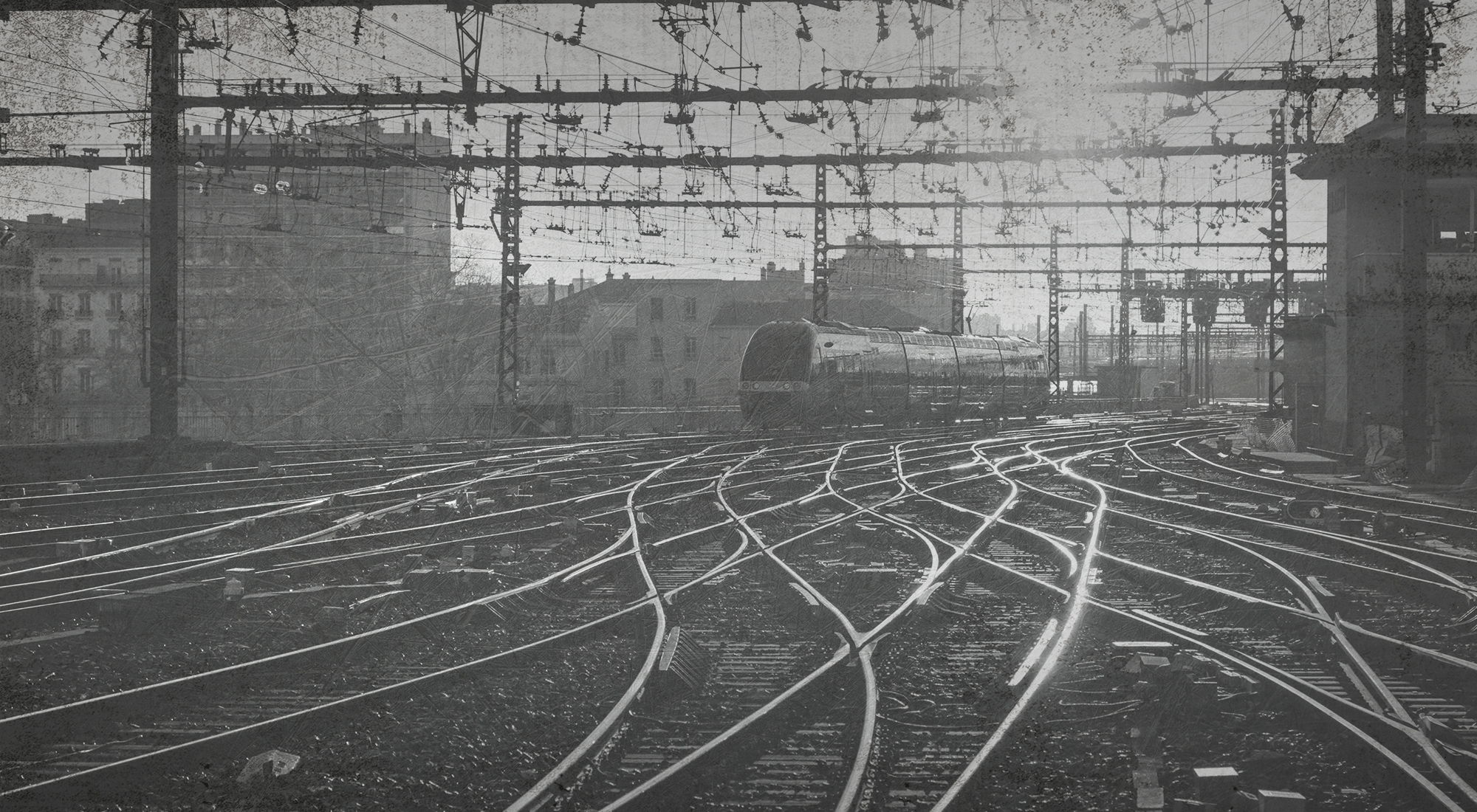
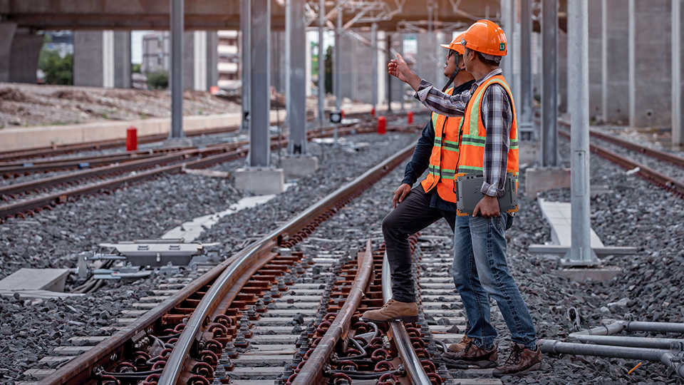
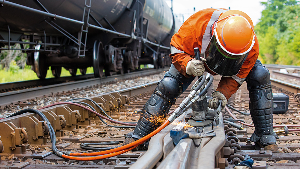
The rail industry is one that requires mobile workers to complete tasks in any conditions. They need the tools to get the job done. The same goes for their digital devices. Whether it is inspections, maintenance, asset tracking and mapping, or general data collection, the devices they use must be as strong as they are. Juniper Systems’ devices are designed to be Juniper Rugged™. This means we’ve tested our devices to meet and exceed industry standards when it comes to drop testing, water submersion, vibrations, and dust ingression. Rest assured that your devices is built for your environment.
Juniper has a long history of providing custom hardware solutions to the rail market. Juniper has helped customers create single device solutions that used to be comprised of multiple data collection devices. These previous solutions were cumbersome and complicated. Juniper created all in one devices that took sensors, radios, and scanners that were all separate, and built them into a single device.

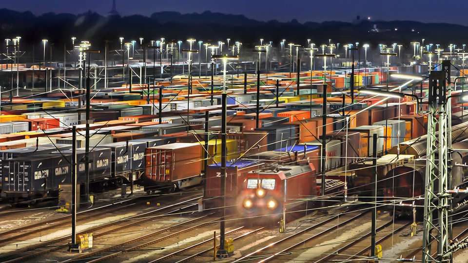
Juniper Systems offers complete solutions that allow for easy tracking of yard assets and equipment. The Geode GNSS Receiver and Uinta Data Collection and Mapping software allow easy mapping and tracking of these assets so you always know where they are when you need them. These tools work with Windows, iOS, and Android devices.
Juniper hardware and software are built to provide easy to use solutions. Maintenance and inspections have never been easier. Uinta allows for easy data collection using forms and geospatial data. Our rugged computing devices offer a robust platform that matches the environments where this work is taking place.

Juniper Systems is proud to offer a variety of customization, configuration, and integration options. By building our devices to order, users can configure the device that best fits their needs. With various levels of customization available, users can do anything from a simple custom branding to a fully modified rugged tablet. Our devices are also built for integration with various sensors, expansion areas, and other unique functions. To learn more, visit our OEM and customization page.
START CUSTOMIZING
Uinta allows for efficient data capture and professional mapping all while being user-friendly. Customize project templates to match your job(s) and share professional looking PDF reports and data files with customers. Custom points allow for easy mapping of assets. Uinta also serves as a powerful software for underground mapping* of utility assets. *Mapping underground assets requires additional hardware not included in Juniper Systems’ utility mapping solution. Please contact us for more information.
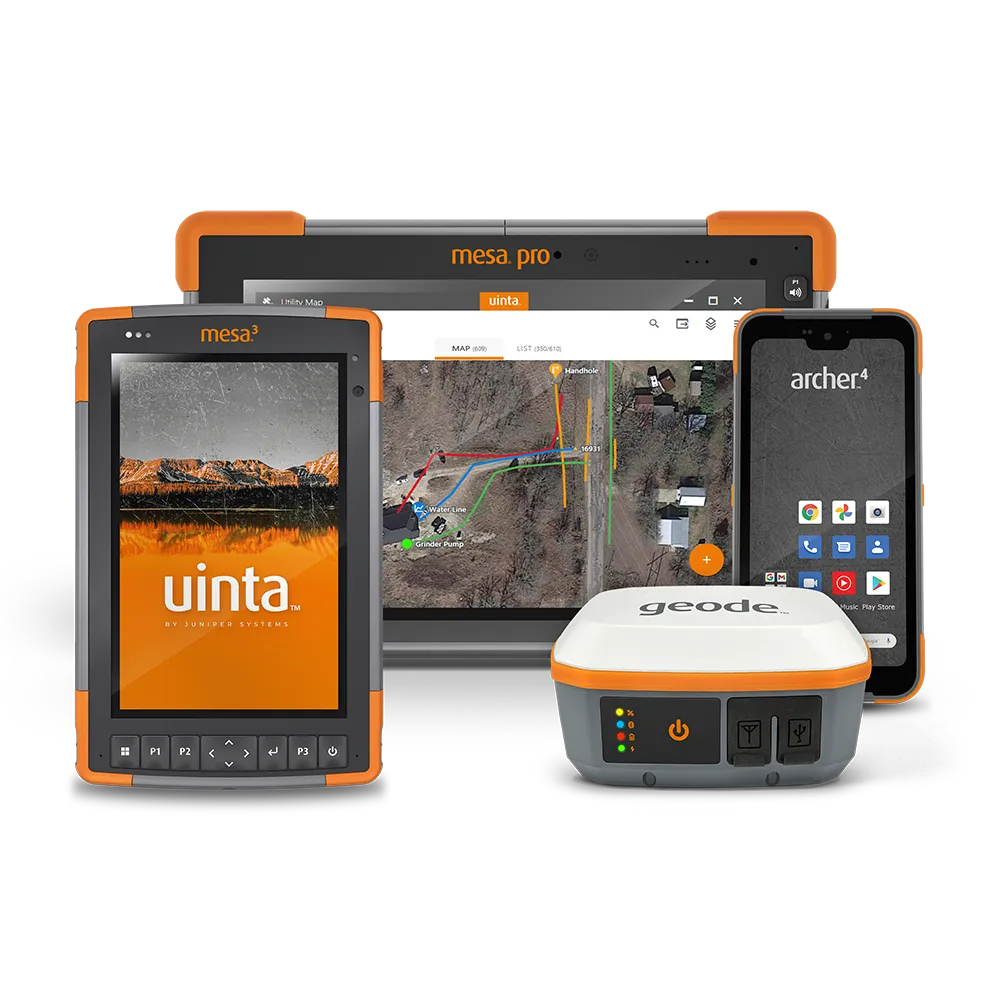
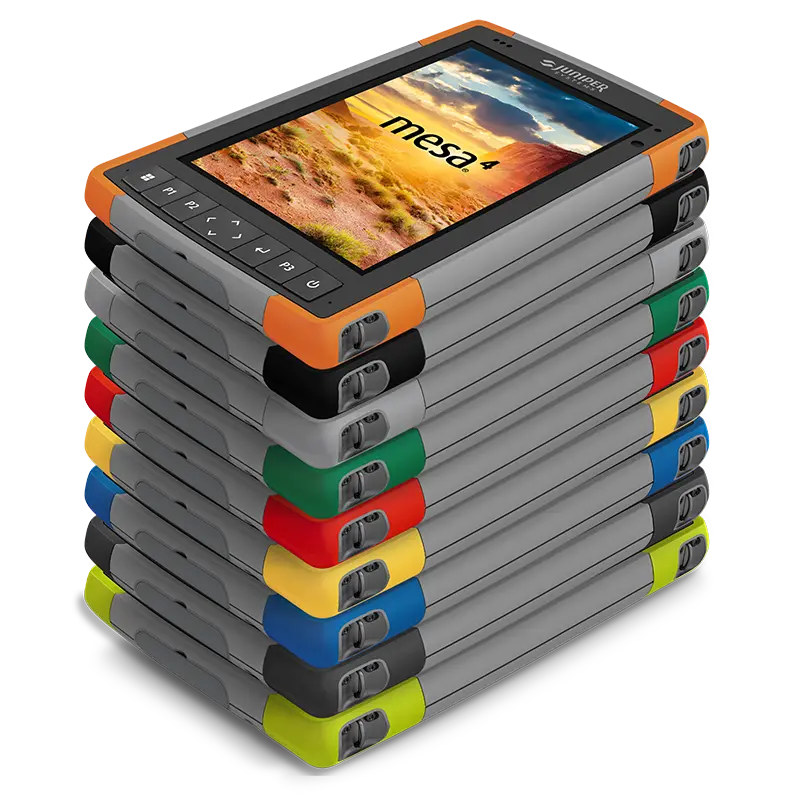
Powered by Windows 11, the Mesa 4 Rugged Tablet offers outstanding performance in the field and the office. Simply connect the Mesa to a Geode Sub-meter GPS Receiver and launch Uinta for a complete mapping experience.
Powered by Windows 10 Professional, the Mesa 3 Rugged Tablet offers outstanding performance in the field and in the office. Simply connect the Mesa to a Geode Sub-meter GPS Receiver and launch Uinta for a complete utility mapping experience.
The Geode is perfect for utility GPS mapping. High-accuracy, rugged design, one-button simplicity, and easy-to-use, all at an affordable price.
Combining rugged design and powerful processing, the Mesa Pro Rugged Tablet offers outstanding performance in the plant and in the office, powered by Windows 10 Professional.