Product Type LogoProduct Type LogoProduct Image

your location,
our solution.

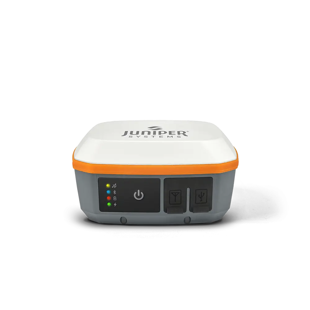
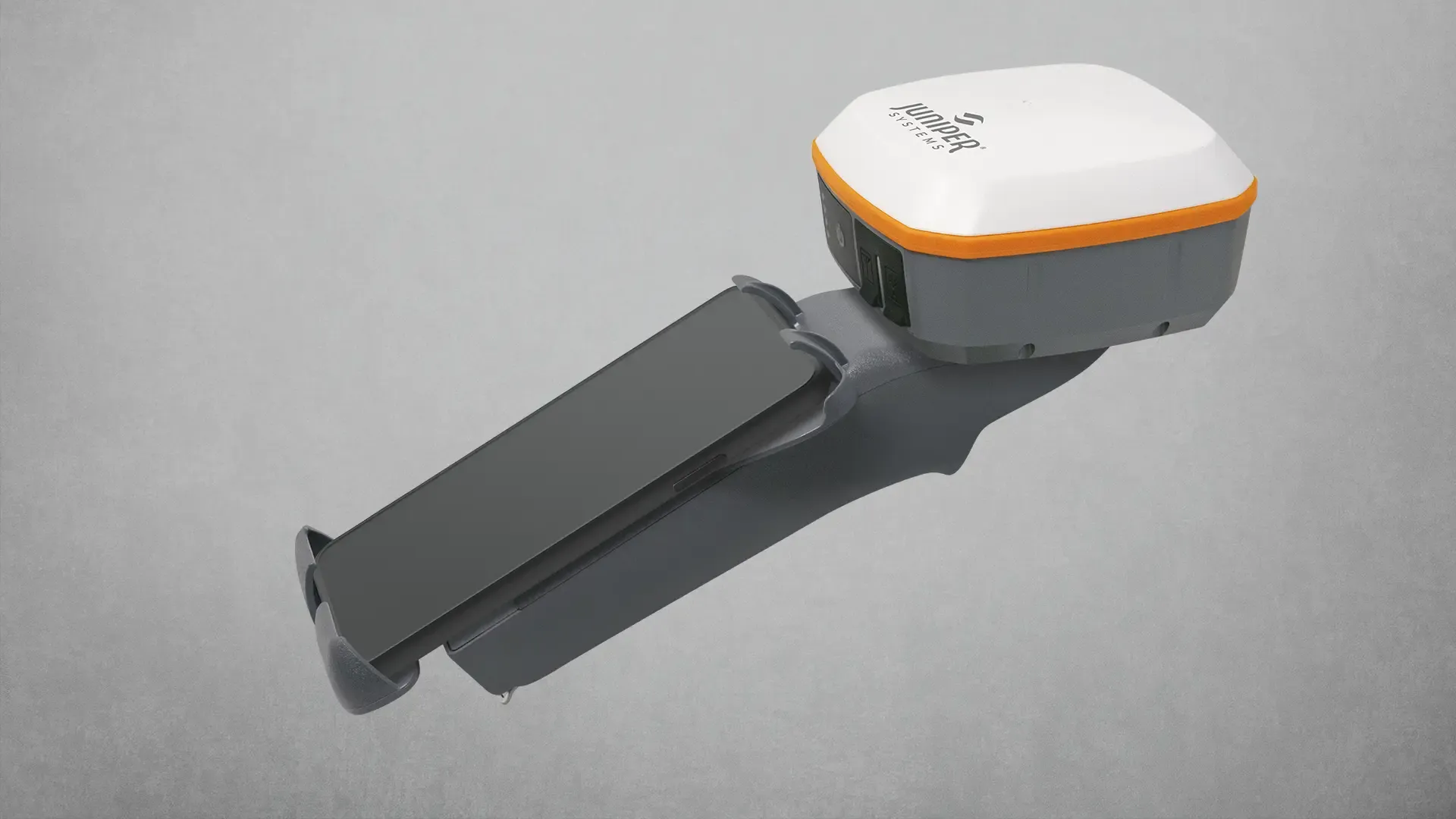
With Geode GNSS Receivers, users can easily collect real-time GNSS data with sub-meter, sub-foot, decimeter and centimeter accuracy options. Now you can achieve professional-grade mapping RTK, whether you are a professional or just getting started. Here's your answer to GNSS data without the huge price tag or complexity of other precision receivers.

Request Pricing

Features

Find an RTK Network

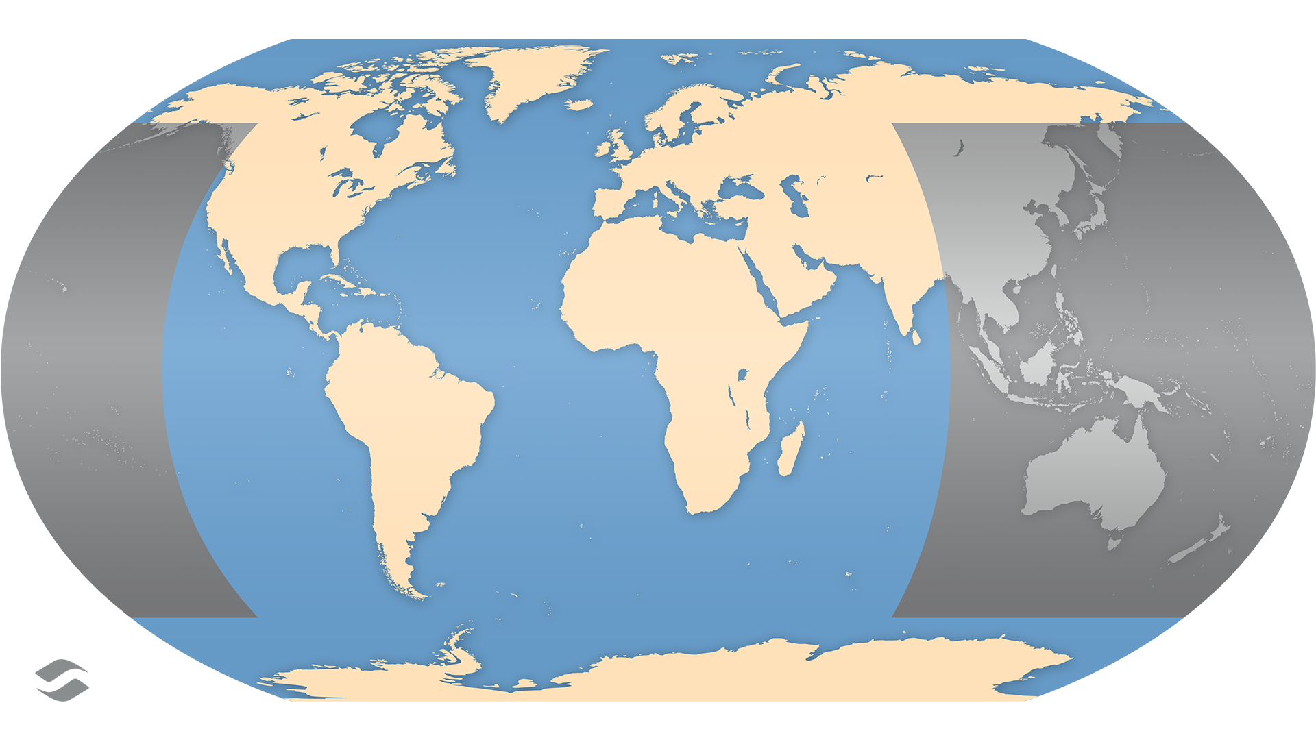
When the Geode GNS3 is activated with RTK functionality, it can be used on the user’s choice of RTK network(s). RTK networks are available across the world. We have compiled a database of RTK Networks. Using the selections below you can identify if there are RTK networks available in your area. Note that some RTK networks are free and some are paid services. Some are privately owned and others are offered through state/country entities. Using the list below you can find RTK networks available in your area.

Provider Name Web Address Country/Region Coverage Map Link

Please note: to the best of our knowledge the information is correct but can change at any time and it is recommended to contact the individual companies for up to date service information.

designed and assembled in USA logo

DESIGNED AND ASSEMBLED IN THE UNITED STATES

Juniper Systems tablets, handhelds, and sub-meter GPS receivers are designed and assembled in the United States. Juniper Systems takes pride in the level of quality we achieve with every device leaving our doors. Each device is carefully crafted to meet the needs of its intended user.

Everything happens under one roof, from product design to engineering to manufacturing at Juniper Systems' Logan, Utah, USA facility. This allows each product to undergo extensive testing for quality, durability, and performance.

GEODE GNSS RECEIVER COMPARISON

This comparison guide outlines the differences between the Geode GNS2 and Geode GNS3. View the comprehensive list of product specifications.

GNS3SGNS3M
ACCURACY
  • Sub-meter
  • Sub-meter, sub-foot, decimeter, centimeter
ANTENNA TYPE
  • Single Frequency
  • Multi-frequency (L1, L2, L5)
CORRECTION SERVICES
  • SBAS (WAAS, EGNOS, MSAS, GAGAN, etc.)
  • NTRIP RTK/CORS Networks (RTK Float)
  • SBAS (WAAS, EGNOS, MSAS, GAGAN, etc.)
  • NTRIP RTK/CORS Networks (RTK FIX/Float)
  • Atlas L-Band
POWER
  • USB Type-C Port; supports USB Fast Charging
  • USB Type-C Port; supports USB Fast Charging
COMPATIBILITY
  • Windows® PC
  • Android™
  • iPhone®/iPad®
  • Windows® PC
  • Android™
  • iPhone®/iPad®
become a partner logo

BECOME A JUNIPER PARTNER

At Juniper Systems, we seek to establish strong relationships with companies that offer total data collection solutions to markets in agriculture, natural resources, industrial, geospatial, public works, military, oil and gas, utilities, public safety, construction, and more. We offer high-quality, rugged handheld computers and sub-meter GPS receivers with long-term reliability, excellent customer service, and unique product customization. If you’re looking for a reliable, rugged handheld device or GPS receiver for your solution, as well as a long-term business partner, contact us today.

GNS3 SPECIFICATIONS

receiver

  • Receiver Type : GNSS multi-frequency,
    multi-constellation
  • Signals: GPS: L1CA, L1P, L1C, L2P, L12P, L2C, L5,
    GLONASS: G1, G2, BeiDou: B1, B2, B3
    (Without L5), GALILEO: E1BC, E5a, E5b and
    QZSS: L1CAm L1C, L2C, L5
  • Channels: 800+
  • SBAS Support: 3-channel parallel tracking
  • L Band: Atlas worldwide 1525-1560 Mhz
    (with subscription)
  • Update Rate: 1 Hz standard, up to 10Hz and 20 Hz options

ACCURACY

  • SBAS: 30 cm HRMS, <60 cm 2DRMS
  • RTK: 1 cm RMS
  • Atlas (95%): H10:10cm, H30:30 cm, Basic:
    50cm (requires subscription)
  • Autonomous: 1.2 meters HRMS
  • Cold Start: <60 sec typical (no almanac)
  • Reacquisition: 15 sec Atlas, all others <1sec

COMMUNICATIONS

  • Bluetooth® 5.1 SPP, IAP2, EAP
  • Bluetooth Range: Class 1 Long Range
  • Ports: USB Type-C; Serial RS232C DB-9
  • Serial Baud Rates: 4800-115200

RECEIVER PROTOCOLS

  • Data I/O Protocol: NMEA 0183, Crescent Raw Binary (proprietary)
  • Correction I/O Protocol: Hemisphere GNSS
    Proprietary, ROX, RTCM v2.3, RTCM v3.2, CMR,
    CMR+
  • Other: 1PPS Timing Output, Speed Pulse,
    Event Marker Input (optional)

POWER

  • Input Voltage: 5VDC @ 2A USB
  • Power Consumption : 1.7-2 W nominal
  • Overtime Technology™ Battery:3.6V 6000 mAh Li-ion (GNS3M) 10 hours, (GNS3S) 16 hours
  • Charging Time: Less than 4 hours

ANTENNA

  • Internal precision single/multi-frequency with integrated ground plane
  • External Antenna Port: MCX type, 50 ohm 15VDC @ 45 mA maximum (GNS3M)/20Ma maxiumum (GNS3S)

JUNIPER RUGGED™

  • Operating Temp: -20 C to +60 C
  • Storage Temp: -30 C to +60 C
  • Meets or Exceeds MIL-STD 810G (Drop, Vibration, Temperature, Ingress Protection)
  • Enclosure Rating: IP68 (1.4 meters for 30 min)

receiver upgrades

  • 10 Hz Data Rate
  • 20 Hz Data Rate
  • Multi-Frequency
  • Atlas Basic
  • Atlas H30
  • Atlas H10
  • Athena RTK Engine

included accessories

  • Cable: USB-A to USB Type-C
  • Cable: USB Type-C to USB type-C
  • 5/8 x 11 Pole Mount Adapter
  • USB charger

configurations

  • GNS3S Single Frequency Antenna Model, no Atlas Support
  • Geode GNS3M Multi Frequency Antenna Model, All Atlas Subscriptions Supported
  • Geode GNS3M Multi Frequency Antenna Model, Not Activated

Dimensions

  • 110x110x57mm (4.36x4.36x2.5in)
  • Weight: 394g (14 oz)
  • Mount: ¼ x 20 camera stud and M4 AMPS diagonal

Geode Gns3 Compatibility

  • GeodeConnect™ software provides configuration, communications setup, and receiver settings
  • Windows®
  • Android™ 8 and above
  • iPhone and iPad. Click here for a full list of compatible devices.

ACCESSORIES

Make sure you're field ready. Check out our accessories store. Need something custom? Feel free to reach out.

VIDEOS