

How does a rugged tablet differ from a consumer tablet?
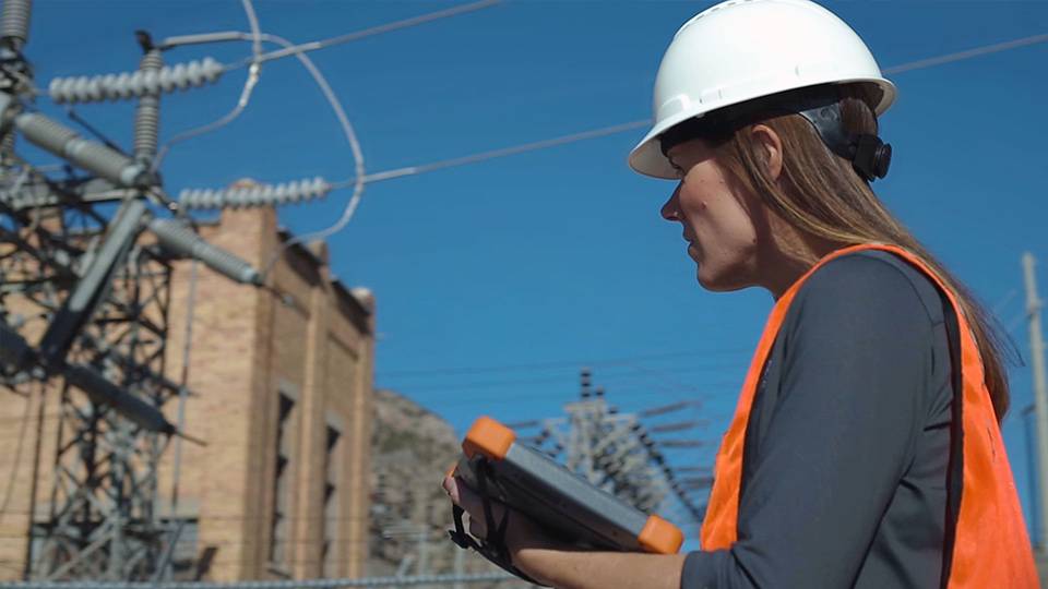
Rugged tablets and handhelds are designed for more than a comfortable office-setting. You’ll find our rugged tablets in challenging and downright uninviting environments like dark and dusty warehouses, wet and muddy fields, and cluttered work vehicles that many people call their office. Bumps, drops, water and dust ingress, all the scary possibilities that will stop a consumer tablet won’t slow down a rugged tablet.
What makes a rugged tablet "rugged"?
The standards for rugged tablet testing are Military Standard Certified Testing against drops and Ingress Protection (IP) testing to protect against water and dust harming vital internal systems in the tablet. At Juniper Systems, we actually test beyond these standards. We test-to-fail which means we push our handhelds to the breaking point just like our customers do.
What kind of security features do rugged tablets offer for sensitive data?
Juniper products are fitted with a TPM (Trusted Platform Module) chip v2.0 which improves the security on your device with a cryptographic key to protect your work.
How do rugged tablets handle connectivity challenges in remote locations?
Juniper’s rugged tablets are 4G LTE multi-carrier capable, so you can choose the provider with the best coverage in your area.
Are there software or app limitations with rugged tablets compared to standard tablets?
Any software or apps that you can run on Windows 11 are compatible with Juniper’s rugged tablets.
What is the lifespan of a rugged tablet?
Lifespan is one of the features that really sets apart a rugged tablet from a consumer tablet. Rugged devices can last 10+ years with regular use.
What service plan or warranty is available with a Juniper rugged tablet?
Juniper offers a 2-year warranty on all of our products and a lifetime of phone, email and chat support. Even if a product becomes EOL (End of Life), we continue support for 3-5 years. Sometimes the data you have on your tablet is more valuable than the tablet itself. A Juniper rugged tablet provides greater physical protection over a consumer tablet; however, should your device need repairs, we prioritize recovering any data stored on the tablet.
How long does it take to learn how to use your mapping system?
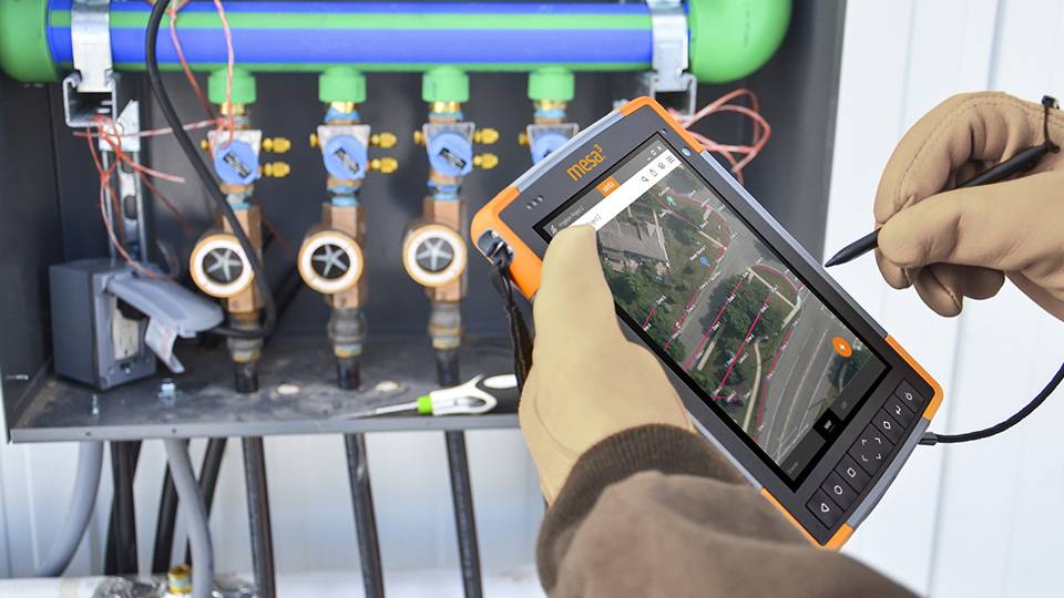
Juniper’s Uinta mapping software and rugged hardware are built to offer quick start up times and short training cycles. Users can be trained to capture data in just a few minutes.
Can I get Survey grade Accuracy?
No. Juniper’s mapping solutions are meant to offer professional-mapping grade accuracy. Around 2cm with the Geode with RTK enabled.
What is this used for?
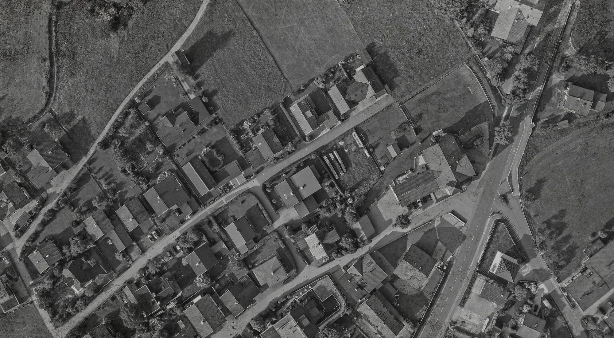
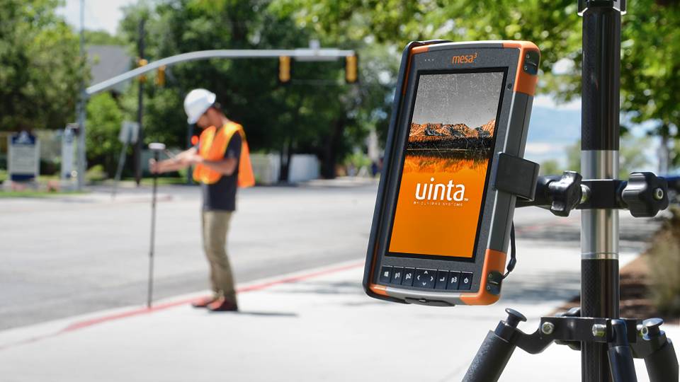
Juniper Systems’ mapping bundles are used in many applications including utility mapping, irrigation, wetlands, forests, etc.
What is included in the Juniper mapping package?
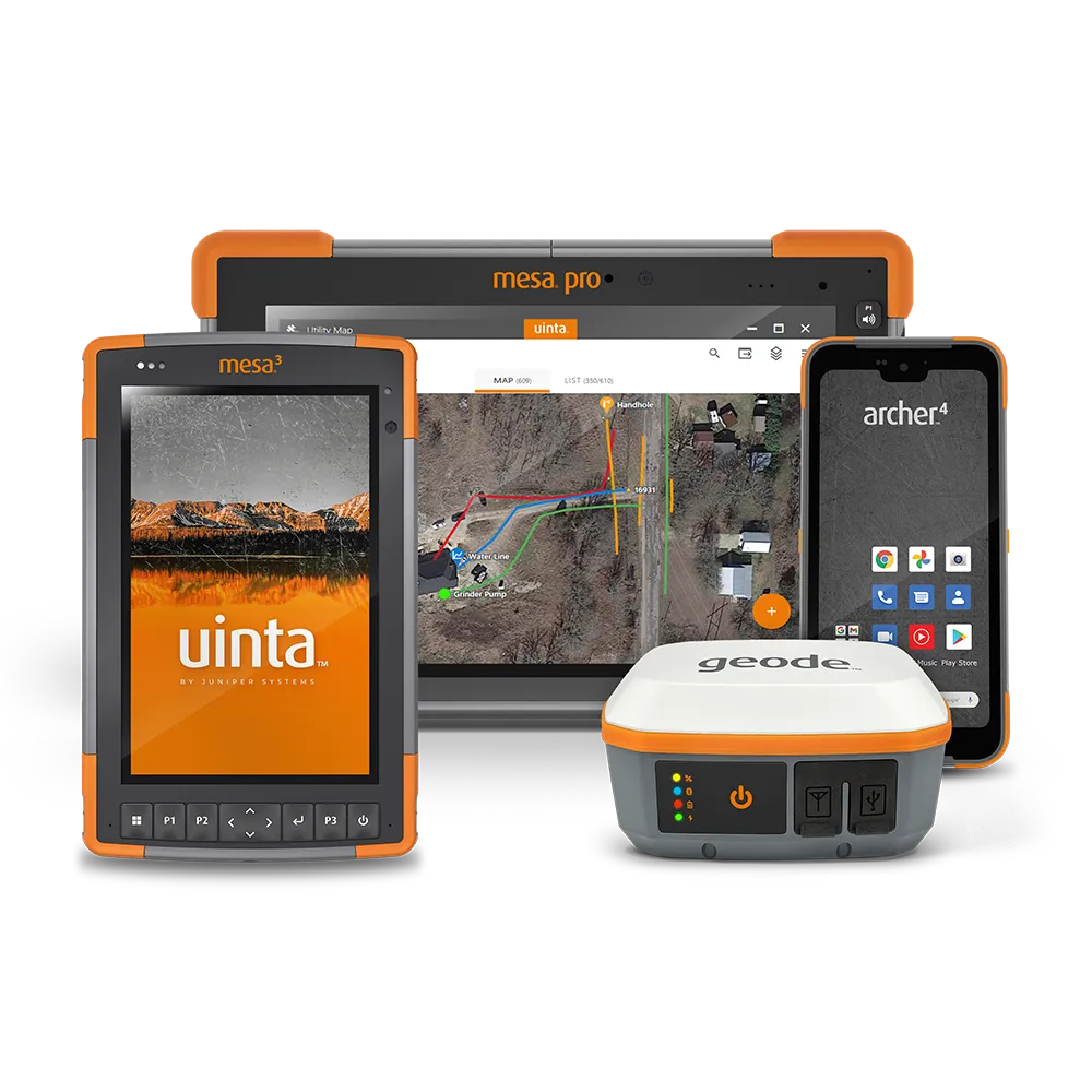
The package includes a Mesa 3 rugged tablet running either Windows™ or Android, Geode GNSS Receiver, Uinta license, survey pole and tablet mount.
Does the Juniper mapping package meet ASCE 38-22 and ASCE 75-22 standards?
The Geode can reach these standards with multi-frequency and RTK enabled on the device.
Do the components of the Juniper mapping package only work together or can you mix and match with other components?
You can use other Windows™ or Android devices. Uinta is available on both of those platforms. The Geode is compatible with Windows™, Android, and iOS devices.