
Work with ESRI ArcGIS Mobile Apps [Android]
To use your Spire receiver with your ArcGIS apps, such as Field Maps or Survery123:
Enable Developer Options. From Settings > About phone, tap Build Number seven times.
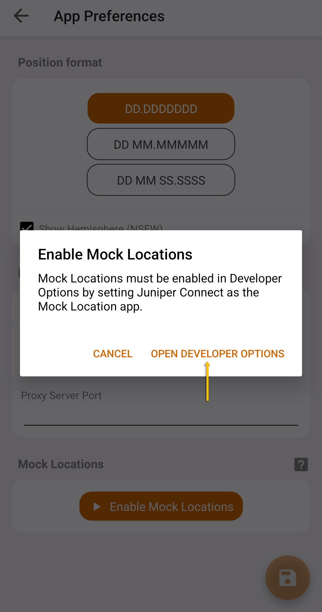
In Juniper Connect > App Preferences, tap Enable Mock Locations.
Tap Open Developer Options.
Tap Select mock location app.
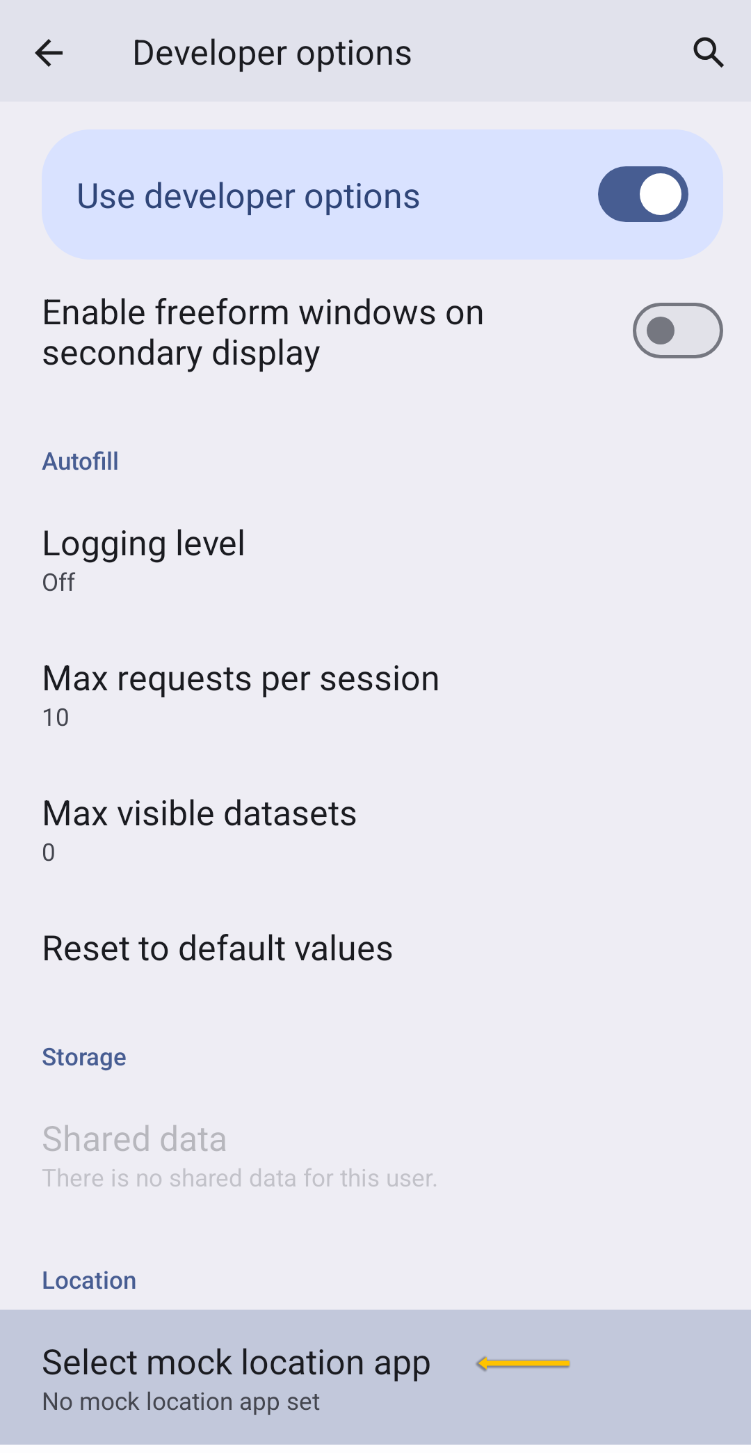
Tap Juniper Connect.
Notice that the mock location app is Juniper Connect.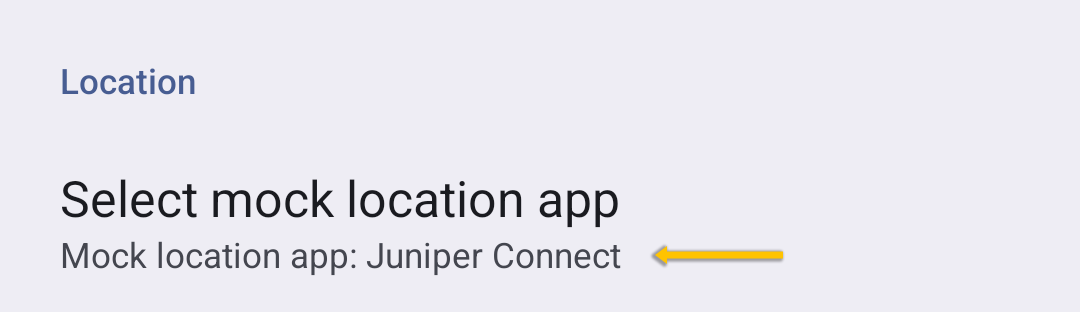
Tap
 .
.
Notice that Juniper Connect indicates that the Mock Location Provider is enabled.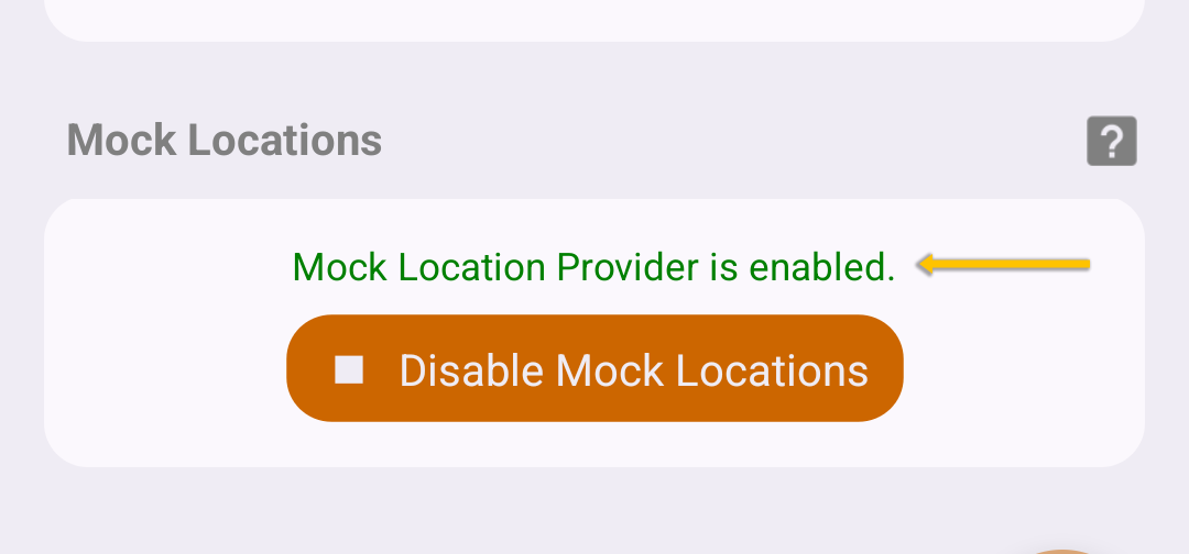
Verify the connection in the ArcGIS app. Select the tab below that matches your software.
Note: Leave Juniper Connect open in the background as you use your ArcGIS app.
To verify that Field Maps is connected to the Spire and receiving data:
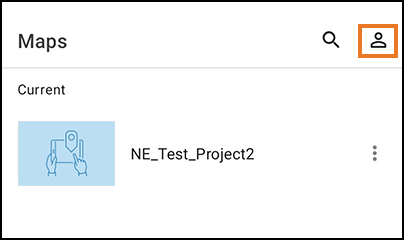
Tap the profile icon.
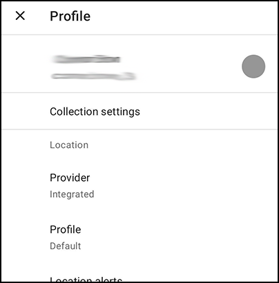
Verify that Provider is set to Integrated.
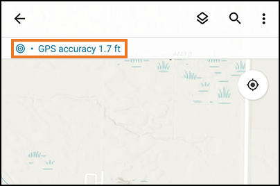
Tap the GPS accuracy text in Field Maps.
Check that your Spire shows as the provider. (The numbers on your Spire will be different from those shown here.)
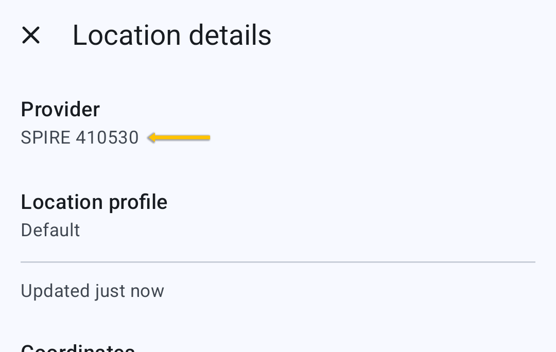
Close the Location Details screen.
You are now ready to use Field Maps with the NTRIP/RTK service through the Spire.
Note: Keep the Juniper Connect window open to maintain your connection to the Spire.
To verify that Survey123 is connected to the Spire and receiving data:
Tap
 .
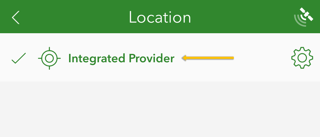
.Verify that Integrated Provider is selected.
Tap
 in Survey123.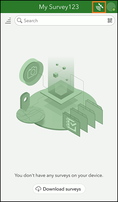
Verify that GeodeConnect is the source.
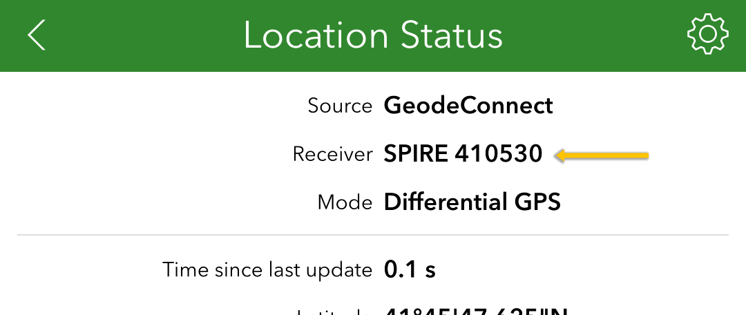
You are now ready to use Survey123 with the NTRIP/RTK service through the Spire.
Note: Keep the Juniper Connect window open to maintain your connection to the Spire.
For a list of the mock location extras that are passed through Juniper Connect, see Juniper Connect Mock Location Extras.