Use of Coordinate Reference Systems in Uinta
Uinta transforms the coordinate reference system (CRS) data upon import to WGS84. You can transform to a CRS of your choice during export. (See Export Project, Template, or Data.)
Transformation of Coordinate Reference System
Files imported into Uinta are transformed to the WGS84 coordinate reference system.
| Transformation of Coordinate Reference System (CRS) | |
| File Format | Transformation to WGS84 |
| SHP | The imported CRS is auto-detected and appropriately transformed. |
| CSV | The user designates the imported CRS. |
| KML | The imported CRS is assumed to be WGS84 web mercator. |
| GPKG | The imported CRS is auto-detected and appropriately transformed. |
| NTRIP | The user designates the imported CRS broadcast from the base when configuring NTRIP. (See NTRIP.) |
Export Coordinate Reference System
When you export a project or data, you can specify the coordinate reference system exported with the data.
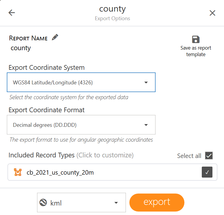
In Export coordinate system, select the coordinate reference system that you want to use, such as WGS84. Select Other to specify a coordinate system SRID.
For instructions on exporting projects and data, see Export a Project, Template, or Data.